Trades District Masterplan 2021
The City of Lawrence, Indiana is a growing, multi-cultural community located northeast of Indianapolis in Marion County. Lawrence is uniquely positioned to attract new business because it boasts all the convenience of a large metropolitan market, while still maintaining a laid back suburban atmosphere.
The City has seen continued growth over the last 10 years in population, jobs, businesses, single-family homes and more. Lawrence is ideally positioned for a large-scale economic boom in the coming years. Don’t miss your opportunity to choose Lawrence and be a part of the success.
WHY SHOULD YOU CHOOSE LAWRENCE?
The City of Lawrence, Indiana is a growing, multi-cultural community located northeast of Indianapolis in Marion County. Lawrence is uniquely positioned to attract new business because it boasts all the convenience of a large metropolitan market, while still maintaining a laid back suburban atmosphere.
The City has seen continued growth over the last 10 years in population, jobs, businesses, single-family homes and more. Lawrence is ideally positioned for a large-scale economic boom in the coming years. Don’t miss your opportunity to choose Lawrence and be a part of the success.
BIG CITY PROXIMITY
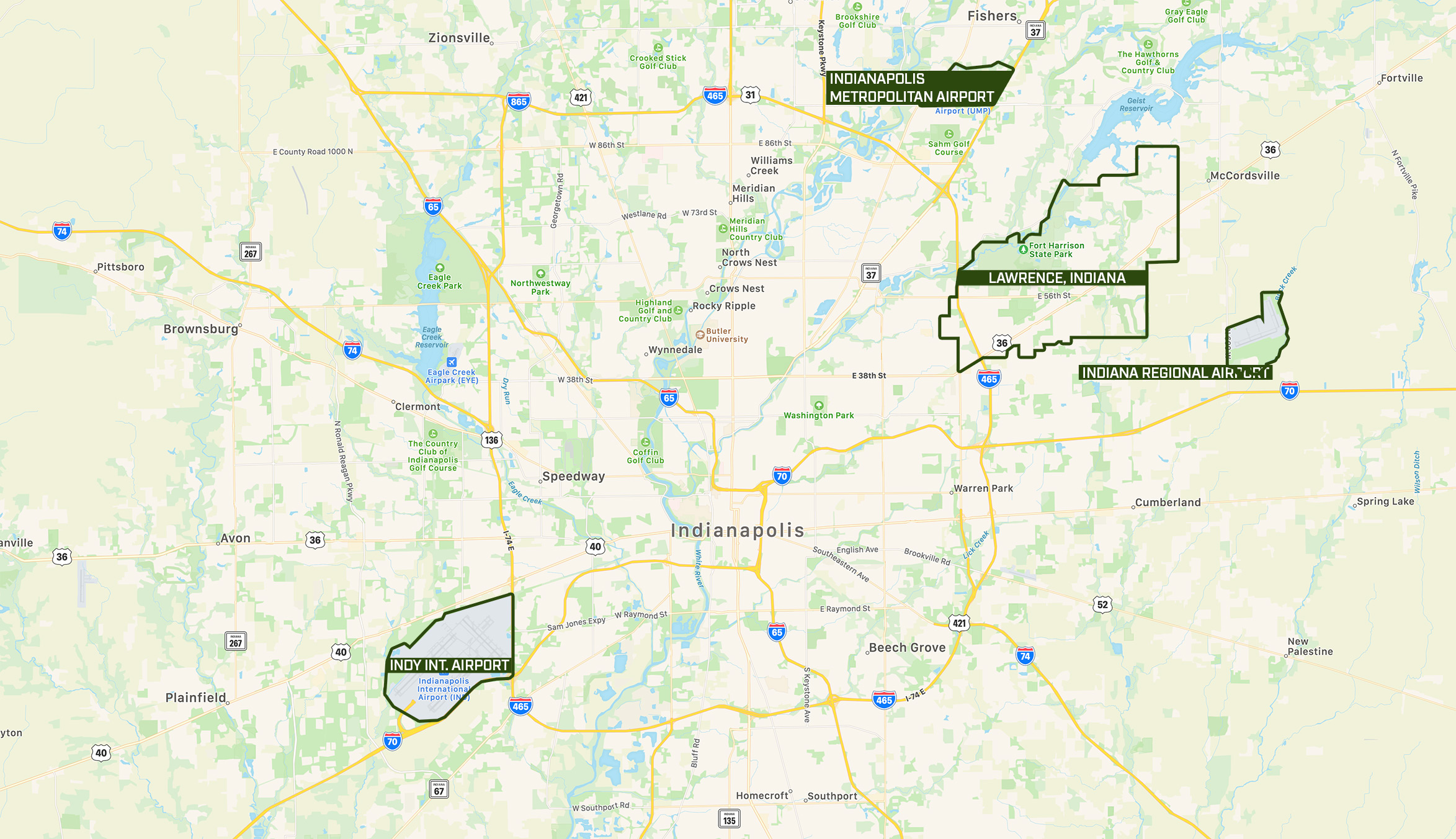
Lawrence is located just 10 miles from Circle Center in downtown Indianapolis. Locating in Lawrence also means that air travel is just a stone’s throw away. Indianapolis International Airport is 26 miles from Lawrence, and two regional airports in Fishers and Greenfield are within 10 miles of the City.
Downtown Indianapolis 22 Minutes
Indy International Airport 33 Minutes
Indy Regional Airport 15 Minutes
QUICK INTERSTATE ACCESS
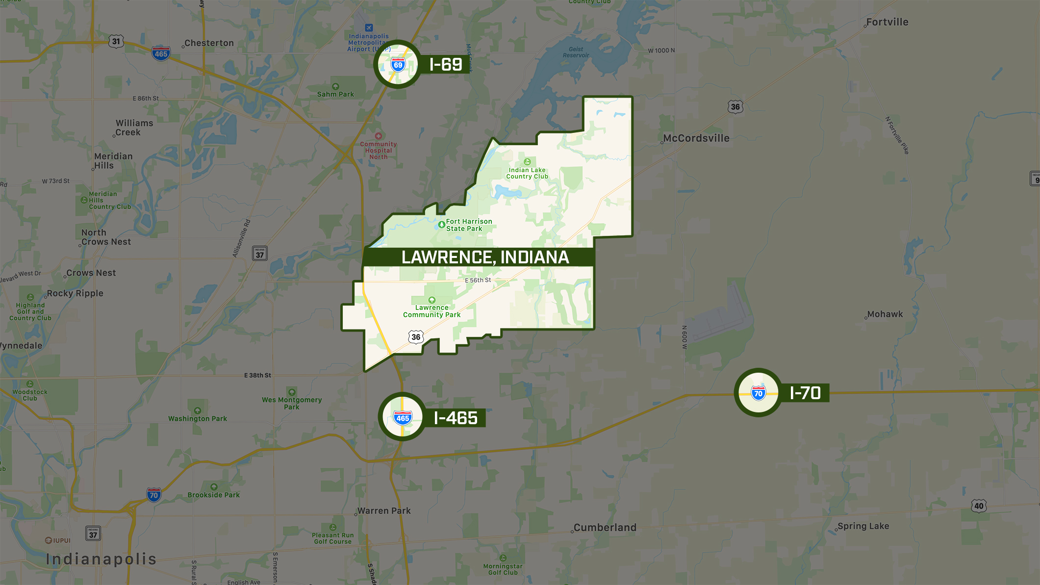
Lawrence is easily accessible via interstates 69, 70 and 465, making intrastate and interstate travel quick and easy.
Lawrence is located approximately 35-40 miles from Anderson and Muncie, 65 miles from Lafayette, 90 miles from Terre Haute and 115 miles from Fort Wayne. Additionally, other major markets such as Chicago, Illinois, and Columbus, Ohio are less than 3 hours away by car; and Cincinnati, Ohio and Louisville, Kentucky can be reached in two hours.
CITY HISTORY
1823
Since it served as a wilderness stop along a Native American trail in 1823, Lawrence, Ind., has played many roles and has evolved into an important destination community in northeast Marion County.
1849
The municipality was platted in 1849 as a triangular tract bounded by 42nd Street, Franklin Road and Pendleton Pike. It was then called Lanesville. Other names subsequently were tried, including Jamestown after the founder James White.
In 1866, the Marion County Commissioners approved the name Lawrence – also the name of the surrounding township – after the naval hero of the War of 1812, Capt. James Lawrence, who is remembered for the command, “Don’t give up the ship!”
1901
In March 1901, Lt. Col. Russell B. Harrison came to Indianapolis to bury his father, President Benjamin Harrison. Here, the younger man learned about the War Department’s decision to close the Indianapolis Arsenal, which had supplied munitions to Union troops during the Civil War. (During the Civil War, the arsenal was located near the Statehouse; it later was moved to Woodruff Place, on the near east side of Indianapolis.)
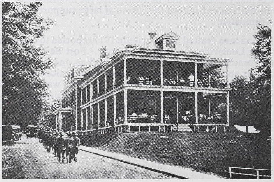
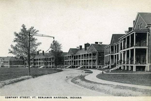
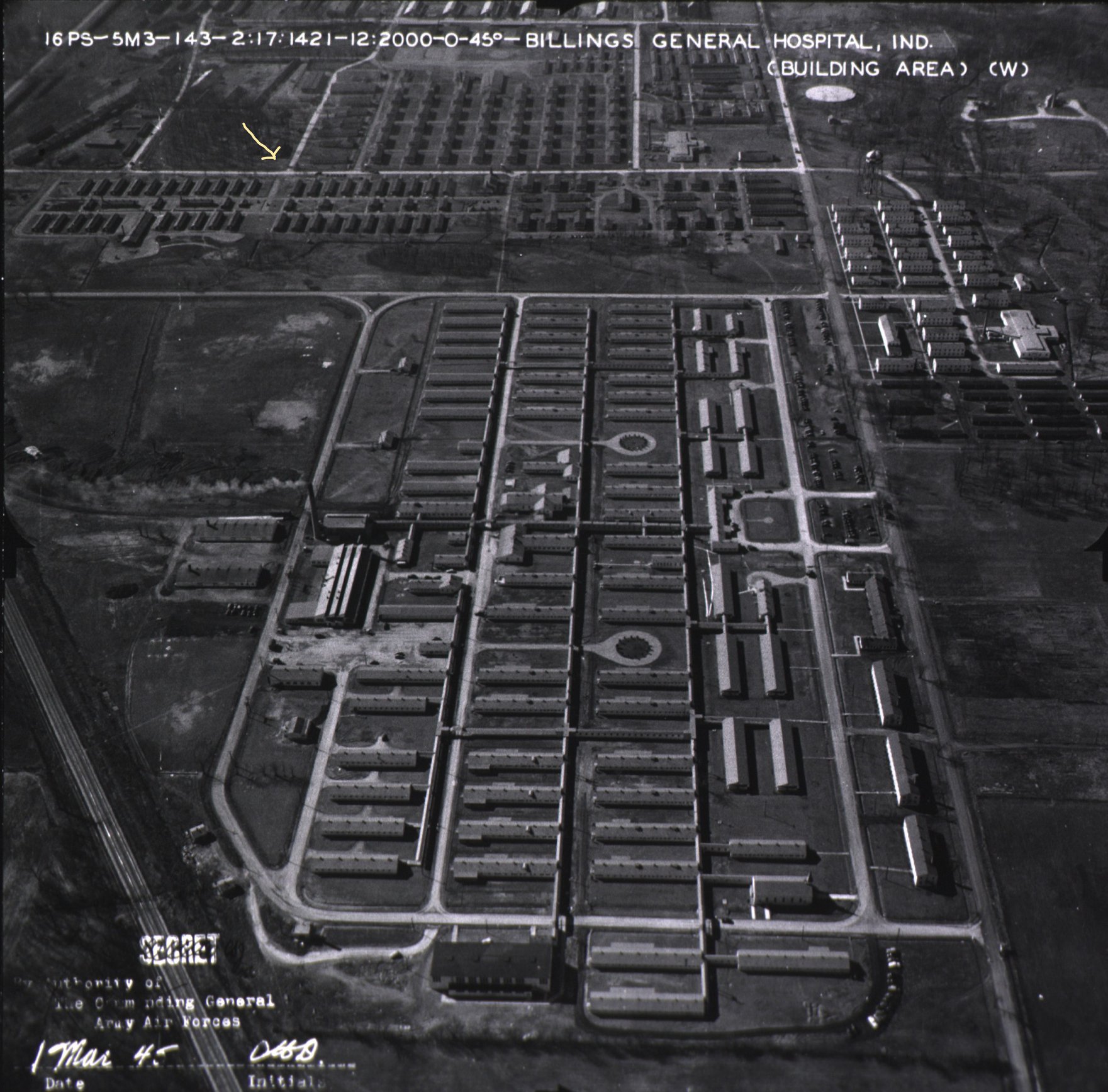
The president’s son persuaded the War Department that Indianapolis deserved a military presence to commemorate the arsenal’s role in fighting slavery and maintaining the Union. In 1904, the War Department purchased land on the northeast side, nine miles from downtown. In 1906, President Theodore Roosevelt dedicated Fort Benjamin Harrison, which would serve as a troop reception center, classroom and soldier support facility during all major military conflicts from World War I to Desert Storm.
1929-1956
In 1929, the residents of Lawrence — then about 600 — voted to make their village a town. By 1940, the population had grown to 1,048; by 1950, Lawrence had 1,999 residents. A special census in 1956 showed 7,863 residents, and talk began of incorporating as a fifth-class city.
1960-1983
Morris Settles, the first mayor of Lawrence, served the city for 24 years, 1960-1983. Settles predicted a clash of interests between the large and small cities within Marion County. Indeed, in 1969, Indianapolis and Marion County adopted a unified government structure.
Lawrence was one of four “excluded cities,” so it retained its city government, though its citizens were given the right to vote for the mayor of Indianapolis and their representatives on the Indianapolis/Marion County City-County Council as well as the Lawrence mayor and other elected officials.
1991
Lawrence began a new chapter in 1991, when the Base Realignment and Closure process earmarked Fort Harrison as one of many military bases across the country that would be closed. Closure came in 1995, but redevelopment of the fort has taken hold in a major way. The state of Indiana took ownership of 1,700 of the fort’s 2,500 acres to develop Fort Harrison State Park, The Fort Golf Course and the State Park Inn.
Lawrence continues to have a strong military presence led by the more than 4,000 employees at the Defense Finance and Accounting Services Center, Lawrence’s largest employer. The Army Air Force Exchange Service built a post exchange and commissary at the former post in 2007 and the Indiana National Guard Lawrence Armory opened its Readiness Training Center there in 2011. Under construction is a new Armed Forces Reserve Center, with the 310th Expeditionary Sustainment Command, where more than 1,200 reservists will participate in drill each month. The City of Lawrence and the Fort Harrison Reuse Authority, work together to redevelop the fort as a mixed-use village town center for Lawrence.
2020
The Fort Ben Tech Campus and City of Lawrence won the Rising Tech City Mira Award during TechPoint’s 21st annual Mira Awards gala honoring the best of tech in Indiana.
Several long standing companies continue to choose Lawrence as they grow, including Bloomerang, Schneider Geomatics and Geospatial, Indy Data Partners, Indesign and Phoenix Data Corporation.
